Drone Hardware and Software
Drone Hardware and Software Terminology
Drone Hardware and Software Terminology
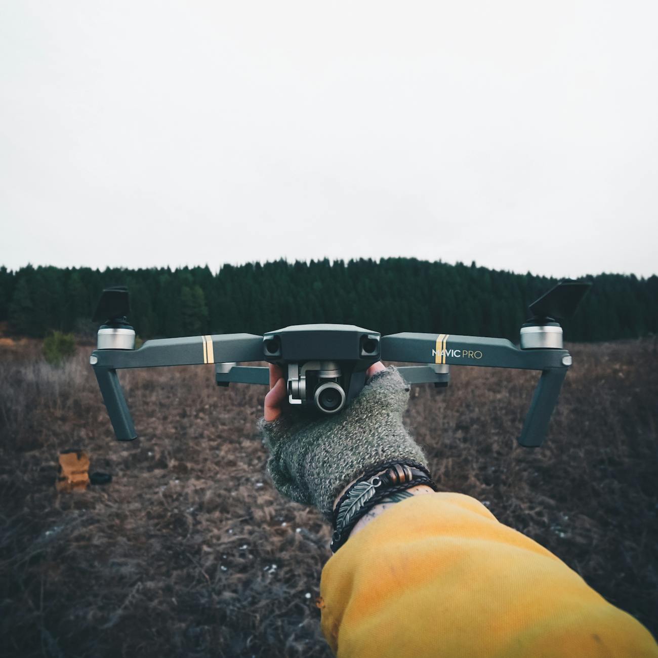
Drone: A drone, also known as an unmanned aerial vehicle (UAV), is an aircraft without a human pilot on board. Drones can be controlled remotely by a pilot or can fly autonomously based on pre-programmed flight plans or dynamic inputs.
Hardware: The physical components of a drone, including the frame, motors, propellers, electronic speed controllers (ESCs), flight controller, battery, camera, and other sensors.
Software: The programs and algorithms that control the behavior of the drone, including flight control software, mission planning software, image processing software, and other applications that enable the drone to perform specific tasks.
Flight Controller: The central component of a drone's hardware that manages the aircraft's flight dynamics, navigation, and stabilization. It receives input from sensors such as accelerometers, gyroscopes, and GPS to control the drone's movements.
GPS (Global Positioning System): A satellite-based navigation system that provides location and time information to GPS receivers onboard drones. GPS is used for accurate positioning, navigation, and waypoint-based flight planning.
Telemetry: The transmission of real-time data from the drone to the ground control station (GCS) or a remote pilot. Telemetry data includes information about the drone's altitude, speed, battery level, GPS coordinates, and other flight parameters.
Remote Control: A handheld device used by the pilot to manually control the drone's flight movements, including throttle, pitch, roll, and yaw. Some drones can also be controlled using a smartphone or tablet with a dedicated app.
Waypoint: A specific geographic location defined by GPS coordinates that the drone can navigate to autonomously. Waypoints are used in mission planning to create predefined flight paths for the drone to follow.
Autonomous Flight: A mode of operation where the drone flies without direct human intervention, following a pre-programmed flight plan or using onboard sensors and algorithms to make decisions based on environmental conditions.
Obstacle Avoidance: Technology that allows drones to detect and avoid obstacles in their flight path using sensors such as ultrasonic sensors, LiDAR, or computer vision systems. Obstacle avoidance is essential for safe autonomous flight.
FPV (First Person View): A method of flying a drone where the pilot sees live video footage from an onboard camera transmitted to a screen or goggles in real-time. FPV provides an immersive flying experience and is commonly used in drone racing and aerial photography.
LiDAR (Light Detection and Ranging): A remote sensing technology that uses laser pulses to measure distances to objects on the ground or in the air. LiDAR is used in drones for terrain mapping, obstacle detection, and 3D modeling.
Image Processing: The analysis of images captured by a drone's camera to extract useful information, such as object detection, tracking, classification, and mapping. Image processing algorithms are used for tasks like aerial surveillance, crop monitoring, and search and rescue operations.
Payload: Additional equipment or sensors carried by a drone for specific tasks, such as cameras, sensors, communication devices, or delivery mechanisms. The payload capacity of a drone determines its ability to carry various payloads.
Geofencing: A virtual boundary defined by GPS coordinates that restricts the drone's flight to a designated area. Geofencing is used to prevent drones from flying into restricted zones, such as airports, military bases, or sensitive areas.
Ground Control Station (GCS): A software interface used by the pilot to monitor and control the drone during flight. The GCS displays telemetry data, live video feeds, and mission planning tools to assist the pilot in managing the drone's operations.
Fail-Safe Mode: A set of predefined actions that the drone takes in case of a critical failure or loss of communication with the pilot. Fail-safe modes may include returning to home, landing safely, or hovering in place until the issue is resolved.
Computer Vision: A field of artificial intelligence that enables drones to interpret and analyze visual information from onboard cameras. Computer vision algorithms are used for tasks like object detection, tracking, and navigation in complex environments.
Open-Source Software: Software that is freely available for anyone to use, modify, and distribute. Open-source software is commonly used in drone development to enable collaboration, innovation, and customization by the drone community.
Simulator: Software that replicates the behavior of a drone in a virtual environment for training, testing, and practice. Drone simulators allow pilots to improve their flying skills, experiment with different settings, and simulate challenging flight conditions.
SDK (Software Development Kit): A set of tools and libraries provided by drone manufacturers to enable developers to create custom applications or integrate third-party software with the drone's hardware and software systems.
Integration: The process of combining different hardware and software components to create a functioning drone system. Integration involves connecting sensors, controllers, actuators, and software modules to work together seamlessly.
Regulations: Rules and guidelines set by aviation authorities to govern the operation of drones in airspace. Drone regulations cover areas such as registration, pilot licensing, flight restrictions, safety measures, and privacy concerns to ensure safe and responsible drone operations.
Challenges: The obstacles and complexities faced in drone technology engineering, including technical limitations, regulatory constraints, safety risks, environmental factors, security threats, and ethical considerations. Overcoming these challenges requires innovation, collaboration, and continuous improvement in drone technology.
Applications: The diverse range of uses for drones in various industries and sectors, including aerial photography, cinematography, agriculture, construction, surveying, mapping, search and rescue, surveillance, delivery, inspection, and research. Drones offer new opportunities for efficiency, productivity, and innovation in many fields.
Emerging Technologies: Advanced technologies and trends that are shaping the future of drone technology, such as artificial intelligence, machine learning, edge computing, 5G connectivity, swarming drones, hydrogen fuel cells, long-endurance drones, and urban air mobility. These technologies are driving innovation and expanding the capabilities of drones in new and exciting ways.
Key takeaways
- Drones can be controlled remotely by a pilot or can fly autonomously based on pre-programmed flight plans or dynamic inputs.
- Hardware: The physical components of a drone, including the frame, motors, propellers, electronic speed controllers (ESCs), flight controller, battery, camera, and other sensors.
- Flight Controller: The central component of a drone's hardware that manages the aircraft's flight dynamics, navigation, and stabilization.
- GPS (Global Positioning System): A satellite-based navigation system that provides location and time information to GPS receivers onboard drones.
- Telemetry data includes information about the drone's altitude, speed, battery level, GPS coordinates, and other flight parameters.
- Remote Control: A handheld device used by the pilot to manually control the drone's flight movements, including throttle, pitch, roll, and yaw.
- Waypoint: A specific geographic location defined by GPS coordinates that the drone can navigate to autonomously.