Drone Data Acquisition and Processing
Drone Data Acquisition and Processing
Drone Data Acquisition and Processing
Drone Technology Engineering encompasses a wide range of topics, from design and construction to operation and data processing. Within this field, one crucial aspect is Drone Data Acquisition and Processing, which involves collecting data using drones and converting it into useful information through advanced processing techniques. In this course, students will learn about the key terms and vocabulary related to drone data acquisition and processing to understand the fundamental concepts and techniques involved in this important area of study.
Key Terms and Vocabulary
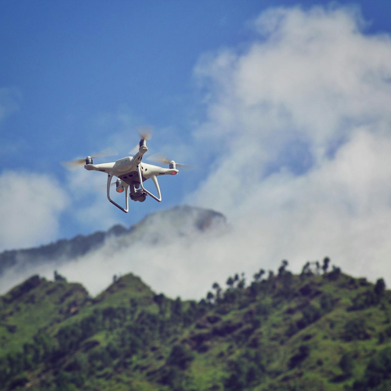
1. Drone: A drone, also known as an Unmanned Aerial Vehicle (UAV), is an aircraft without a human pilot onboard. Drones are controlled remotely by a pilot or autonomously through pre-programmed flight plans.
2. Data Acquisition: Data acquisition refers to the process of collecting data from various sources, such as sensors or cameras mounted on drones. This data can include images, videos, LiDAR data, thermal imagery, and more.
3. Sensors: Sensors are devices that detect and respond to physical stimuli, such as light, heat, motion, or moisture. Drones are equipped with various sensors to capture data during flight, including GPS, accelerometers, gyroscopes, cameras, LiDAR sensors, and thermal cameras.
4. Remote Sensing: Remote sensing is the science of acquiring information about an object or phenomenon without making physical contact. Drones use remote sensing techniques to gather data from the air, providing valuable insights for various applications.
5. LiDAR: Light Detection and Ranging (LiDAR) is a remote sensing technology that uses laser beams to measure distances to the Earth's surface. LiDAR data collected by drones can create detailed 3D models of terrain, buildings, and vegetation.
6. Thermal Imaging: Thermal imaging is a technology that captures images of objects based on their temperature differences. Drones equipped with thermal cameras can detect heat signatures and identify anomalies in buildings, crops, or infrastructure.
7. Orthomosaic: An orthomosaic is a high-resolution, georeferenced aerial image created by stitching together multiple overlapping images captured by a drone. Orthomosaics provide accurate maps for various applications, such as agriculture, surveying, and infrastructure inspection.
8. Point Cloud: A point cloud is a set of data points in a three-dimensional coordinate system. LiDAR sensors on drones generate point clouds that represent the surface of objects or terrain in great detail, enabling precise measurements and analysis.
9. GIS: Geographic Information System (GIS) is a system designed to capture, store, manipulate, analyze, manage, and present spatial or geographic data. Drones are used in GIS applications to collect data for mapping, environmental monitoring, disaster response, and more.
10. Image Processing: Image processing is a method to perform operations on an image to extract information or enhance its quality. Drones capture images that can be processed to identify objects, measure distances, detect changes, or create visualizations.
11. Machine Learning: Machine learning is a subset of artificial intelligence that enables systems to learn and improve from experience without being explicitly programmed. Drones can use machine learning algorithms to analyze data, classify objects, and make decisions autonomously.
12. Georeferencing: Georeferencing is the process of assigning geographic coordinates to data, such as images or maps, to enable spatial analysis and integration with other geospatial datasets. Drones collect georeferenced data for accurate mapping and monitoring applications.
13. Flight Planning: Flight planning involves designing a route for a drone to follow during a mission, considering factors such as airspace regulations, weather conditions, battery life, and data acquisition requirements. Proper flight planning ensures safe and efficient drone operations.
14. Data Processing: Data processing includes the manipulation, transformation, and analysis of raw data collected by drones to extract meaningful information. This process involves cleaning, organizing, and analyzing data to generate insights for decision-making and reporting.
15. GIS Software: GIS software is a specialized tool used to create, edit, analyze, and visualize geographic data. Drones generate spatial data that can be processed and analyzed using GIS software to create maps, models, and reports for various applications.
16. Photogrammetry: Photogrammetry is a technique to extract geometric information from two-dimensional images. Drones capture overlapping images that can be processed using photogrammetry software to create 3D models, measure distances, and generate topographic maps.
17. Obstacle Avoidance: Obstacle avoidance is a feature that enables drones to detect and navigate around obstacles in their flight path. Drones use sensors, cameras, and algorithms to avoid collisions and ensure safe operations in complex environments.
18. Real-time Data Processing: Real-time data processing involves analyzing data as it is collected by drones during a mission. This capability enables immediate decision-making, feedback, and adjustments to optimize drone performance and mission outcomes.
19. Autonomous Flight: Autonomous flight is the ability of drones to operate without direct human control, following pre-programmed flight paths or using artificial intelligence algorithms for navigation. Autonomous drones are used in various applications, such as surveillance, mapping, and delivery.
20. Data Visualization: Data visualization is the graphical representation of data to communicate insights and patterns effectively. Drones generate large amounts of data that can be visualized using charts, maps, graphs, and 3D models for better understanding and analysis.
Practical Applications
The concepts and techniques related to drone data acquisition and processing have numerous practical applications across various industries. Some of the key applications include:
1. Agriculture: Drones are used in agriculture to monitor crop health, assess soil conditions, and optimize irrigation and fertilization practices. Data acquired by drones can help farmers make informed decisions to increase crop yields and reduce resource usage.
2. Construction: Drones are employed in the construction industry for site surveying, progress monitoring, and safety inspections. Drones capture high-resolution images and 3D models of construction sites, enabling project managers to track progress and identify potential issues.
3. Environmental Monitoring: Drones are valuable tools for environmental monitoring, including tracking wildlife populations, assessing habitat conditions, and monitoring pollution levels. Data collected by drones can support conservation efforts and inform sustainable land management practices.
4. Infrastructure Inspection: Drones are used to inspect infrastructure assets, such as bridges, roads, and power lines, for maintenance and safety purposes. High-resolution images and thermal data captured by drones can identify defects, corrosion, or structural damage in critical infrastructure.
5. Disaster Response: Drones play a vital role in disaster response by providing situational awareness, damage assessment, and search-and-rescue operations. Drones can access hard-to-reach areas and collect real-time data to support emergency responders and aid in disaster recovery efforts.
6. Surveying and Mapping: Drones are utilized in surveying and mapping applications to create accurate topographic maps, orthomosaics, and 3D models of terrain. Data collected by drones can be processed to generate precise measurements, volumes, and contours for engineering and planning projects.
Challenges
While drone data acquisition and processing offer numerous benefits and opportunities, there are several challenges and considerations to be aware of in this field:
1. Regulatory Compliance: Operating drones for data acquisition is subject to regulations and restrictions imposed by aviation authorities. Pilots and operators must comply with airspace regulations, privacy laws, and safety guidelines to ensure legal and responsible drone operations.
2. Data Quality and Accuracy: Ensuring the quality and accuracy of data collected by drones is essential for reliable analysis and decision-making. Factors such as sensor calibration, environmental conditions, and flight parameters can affect the accuracy of data acquired by drones.
3. Data Security and Privacy: Protecting sensitive data collected by drones from unauthorized access or misuse is a critical concern. Data encryption, secure storage, and compliance with data protection regulations are essential to safeguarding privacy and preventing data breaches.
4. Flight Safety: Maintaining safe drone operations is paramount to prevent accidents, collisions, or damage to property. Pilots should follow best practices for flight planning, obstacle avoidance, and emergency procedures to ensure the safety of people and assets during drone missions.
5. Data Processing Complexity: Processing large volumes of data collected by drones can be complex and time-consuming, requiring specialized software and expertise. Efficient data processing workflows, automation tools, and cloud computing solutions can streamline the processing of drone data for faster insights and analysis.
6. Integration with Existing Systems: Integrating drone data with existing information systems, such as GIS platforms or asset management software, can pose challenges in data compatibility, interoperability, and data sharing. Standardizing data formats and protocols is essential to ensure seamless integration and collaboration across systems.
7. Cost and ROI: Investing in drone technology and data processing capabilities can involve significant costs for equipment, training, and maintenance. Understanding the return on investment (ROI) and demonstrating the value of drone data for business or operational outcomes is crucial for sustainable adoption and funding support.
Conclusion
In conclusion, mastering the key terms and vocabulary related to drone data acquisition and processing is essential for students pursuing a career in Drone Technology Engineering. Understanding the concepts of data acquisition, sensors, remote sensing, LiDAR, GIS, image processing, and more will equip students with the knowledge and skills to collect, process, and analyze data effectively using drones. By exploring practical applications, challenges, and considerations in this field, students will be prepared to leverage drone technology for various industries and contribute to innovative solutions in data-driven decision-making and problem-solving.
Key takeaways
- In this course, students will learn about the key terms and vocabulary related to drone data acquisition and processing to understand the fundamental concepts and techniques involved in this important area of study.
- Drone: A drone, also known as an Unmanned Aerial Vehicle (UAV), is an aircraft without a human pilot onboard.
- Data Acquisition: Data acquisition refers to the process of collecting data from various sources, such as sensors or cameras mounted on drones.
- Drones are equipped with various sensors to capture data during flight, including GPS, accelerometers, gyroscopes, cameras, LiDAR sensors, and thermal cameras.
- Remote Sensing: Remote sensing is the science of acquiring information about an object or phenomenon without making physical contact.
- LiDAR: Light Detection and Ranging (LiDAR) is a remote sensing technology that uses laser beams to measure distances to the Earth's surface.
- Thermal Imaging: Thermal imaging is a technology that captures images of objects based on their temperature differences.